Geotag photos online, free in your browser.
Write latitude, longitude and business details into a JPEG, then download it.
- No account needed
- Runs in your browser
- Nothing is uploaded
What a location tag does and does not do EXIF carries the location a photo was taken inside the file itself. But the evidence on whether a location tag affects ranking is contested: independent tests found no consistent effect, and EXIF data in uploaded images is stripped on most platforms. Using real photos of your own premises is better regardless. More
How it works
Three steps, all in your browser.
- 01
Upload your photo
Select a JPEG/JPG photo. The entire process runs in your browser; your file is never sent to a server.
- 02
Enter location and details
Enter the latitude and longitude of where the photo was taken; business name and tags are optional.
- 03
Download the geotagged photo
Download the JPEG with embedded EXIF data to your device, then upload it wherever you like — for example, to your Google Business Profile.
What is geotagging
The coordinates live in the file, what that does and doesn't do.
What is photo geotagging?
Geotagging embeds GPS latitude and longitude coordinates into a photo's EXIF metadata, so the information about where the image was taken travels inside the file itself. For photos you upload to your Google Business Profile, this location data helps associate the image with your business's real address.
Why does it matter for local SEO?
Adding accurate location tags to your business images produces signals that are consistent with your location on the map. Using original, geotagged photos instead of stock images is one of the factors that supports your profile's trust and relevance in local search.
Does it work online without uploading my photos?
Yes. The tool runs entirely in your browser: your JPEG is read, the EXIF GPS block is written, and the new file is saved on your own device. Nothing is uploaded to a server, nothing is stored, and no account is needed. That matters here because geotagging writes your exact coordinates into the file, and location data is worth keeping off third-party servers. It also means you can geotag photos online while offline once the page has loaded.
How does it write the coordinates?
The GPS block, decimal-to-degrees conversion and the other EXIF fields. Read the details ↓
Yes. The tool is completely free and requires no sign-up to use.
No. The EXIF processing happens entirely in your browser, on your own device; your photos are never sent to us or stored.
GPS/EXIF writing is currently supported for photos in JPEG/JPG format.
No. Geotagging alone does not guarantee rankings. Accurate location data is just one of the signals that contributes to local SEO, alongside original content, a complete business profile and regular updates.
How the geotag tool writes coordinates into a photo
Most geotag tools ask you to upload the photo first. This one does not, and that changes what the tool can promise you. Here is what actually happens to the file, and where the technical details matter.
Read the technical detail
The file never leaves your device
Your JPEG is read by the browser, modified by the browser, and saved by the browser. There is no upload step, no server-side processing and no temporary copy on our end, because the code path that writes the metadata runs in the page you are looking at.
This is not a privacy nicety, it is the whole point. A geotag is a precise coordinate — often a home address for a service business run from home, or a business address you would rather not have sitting in a stranger's storage bucket. A tool that uploads the file has your location whether it means to keep it or not.
The practical consequence: the tool works with no account, no email and no rate limit, and it keeps working if you close the tab mid-way. Nothing was queued anywhere.
Why coordinates are converted with integer arithmetic
EXIF does not store a decimal coordinate. It stores degrees, minutes and seconds, each as a fraction — a pair of whole numbers. So 41.0082 has to be taken apart before it can be written.
The obvious way to do that is to multiply by 60 twice in floating point, and it is subtly wrong. Binary floating point cannot hold most decimal fractions exactly, so the seconds value drifts in the last digits and the coordinate you get back is not the one you typed. Small, but it accumulates in exactly the digits that carry street-level precision.
So the conversion works in whole numbers instead: the coordinate is fixed to seven decimal places as text, then scaled into hundred-thousandths of an arc-second and split with integer division. The seconds field is written as that integer over 100000. What you type is what ends up in the file.
The datum is written explicitly
Alongside the coordinates, the file records that they are in WGS-84 — the reference system GPS and Google Maps both use.
Plenty of writers skip this field, and then every program that reads the photo has to assume a datum. The assumption is usually right, which is exactly why the failure is annoying when it is wrong: the photo lands somewhere near your business rather than at it, and nothing in the file explains why. Stating the datum removes the guess.
The GPS version and the hemisphere references are written the same way, so the block is complete rather than minimal. A reader that validates the structure accepts it instead of falling back to partial parsing.
Turkish characters take a different path than the standard fields
The tool writes your text into two different kinds of field, and they have different character rules. Getting this wrong is why business names come out as mojibake in some photo viewers.
The title, subject, comment, author and keyword fields are the Windows XP metadata tags, which are defined as UTF-16. Turkish characters go in unchanged — ğ, ü, ş, ı, ö, ç all survive, and Windows Explorer, Lightroom and most photo managers read them back correctly.
The classic EXIF fields are a different story: the specification defines them as ASCII. Writing UTF-8 into them is common and produces garbled output in strict readers, so those fields are transliterated instead — ğ becomes g, ü becomes u, and so on. Your name stays legible everywhere rather than being correct in one program and broken in another.
Keywords are joined with semicolons, which is the separator Windows and most cataloguing software expect when reading the keyword tag back as a list.
An existing EXIF block is replaced, not appended
If your photo already carries EXIF data — and anything from a phone does — the tool overwrites that segment rather than adding a second one.
This sounds like housekeeping and is the difference between working and silently not working. A JPEG can physically contain two metadata segments, but readers stop at the first one they find. Append instead of replace and your new coordinates are in the file, unreachable, while the viewer keeps showing the old ones. There is no error to notice, just a photo that looks untagged.
The tool also checks whether the photo already has GPS coordinates when you open it, and tells you. That is usually worth knowing before you overwrite them: a phone photo taken at your business may already hold the right location.
JPEG only, and why that is not a shortcut
The tool accepts JPEG and JPG. PNG, HEIC, WebP and RAW files are rejected at the file picker rather than half-processed.
The reason is structural, not effort. EXIF lives in a JPEG as a specific marker segment, and that is what the writer targets. PNG has no equivalent standard location, and HEIC — the default on modern iPhones — is a container format that needs a different library entirely. A tool that accepted them would have to convert first, and converting an iPhone photo to JPEG to add a coordinate throws away image quality to add a field.
If your photos are HEIC, the practical route is to export them as JPEG on the phone or in your photo app, then geotag. Most phones have a setting to shoot JPEG directly.
What geotagging does not do
It does not guarantee a ranking, and it is worth being blunt about why. Google has not confirmed that it reads EXIF GPS from photos as a local ranking signal, and anyone who tells you the correlation is proven is selling something.
What accurate location metadata does do is keep your own files consistent and useful. Your photo library stays organised by real location, the coordinates survive if the image is reused elsewhere, and nothing in your metadata contradicts the address on your profile.
If your goal is map visibility, the levers with actual evidence behind them are elsewhere: your primary category, review volume and reply rate, profile completeness, and posting regularly. Geotagging is cheap and harmless housekeeping — treat it as that rather than as a ranking tactic, and you will not be disappointed by it.
Business photo guides
Which photos to upload, how many, and what a 360° tour adds.

Google Business Video Guide
Video on the profile is supported, but two different videos get confused: content video and verification video.
Read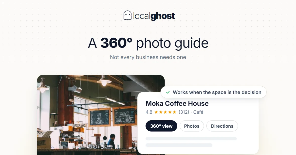
360-Degree Photo Guide for Google Business
A 360 photo is not required for every business. It works when the space itself enters the buying decision, and it is decoration when it does not.
Read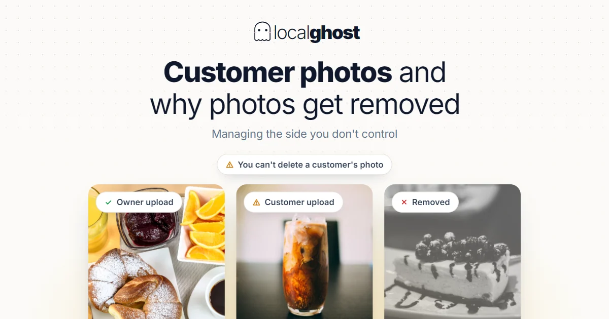
Customer Photos and Why Photos Get Removed
You do not upload every photo on your profile, and you cannot delete a customer's. How to manage the side you do not control.
Read
Google Business Photo Optimization
The photo section is the most misunderstood field on the profile: coverage and recency do the work, not volume, and you do not choose the cover image.
ReadIn the dashboard, the location is filled in, and the photo goes to Google.
Your business coordinates fill in with one click; the tagged photo goes straight to your Google gallery.
No credit card required